Val-des-Monts project - Public consultation
Hydro-Québec wants to ensure the integration of the new 25/120-kV substation in Val-des-Monts and its 120-kV supply line into the environment is as seamless as possible and invites all organizations, affected landowners and stakeholders to voice their comments and concerns before May 17, 2021. The company will consider the comments and concerns expressed by the public and stakeholders when implementing mitigation measures to best adapt the project to local realities.
A project for the region
- Meet the growing demand for electricity in the region
- Improve the reliability and quality of the power system
- Replace equipment that is nearly 60 years old
THE SURVEY IS NOW CLOSED.Thank you for your participation! |
-
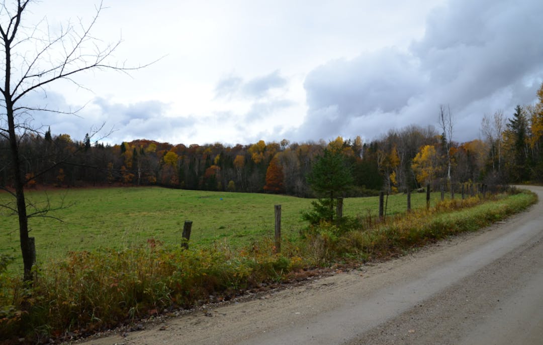
Proposed substation site
Proposed substation site
In fall 2020, Hydro-Québec conducted inventories of the biophysical and human environments, as well as geotechnical studies to characterize the soil.
Because the substation will be located on grazing land on Chemin de la Savane in Val-des-Monts, clearing will be limited. A vegetation screen on the south and east sides will enhance the substation’s visual integration into the landscape.
The site was chosen based on these criteria:
- limitation of the length of the supply line
- easy access by Chemin de la Savane
- sufficiently large area of flat and stable ground
- proximity to the load center
- avoidance of wetlands, waterways and tapped sugar bushes
- distance from residences

Download Substation development (614 KB) (pdf)
Preliminary technical characteristics of the proposed substation
The fenced area of Val-des-Monts substation will take up approximately 7,300 m2 (0.73 ha), in addition to a ditch and drainage strip. Two 120/25-kV transformers will be installed, along with an initial two 25-kV distribution feeder bays out of a possible four. A control building and multifunctional building are also planned.
-
Proposed line routes (A & B)
Description of routes
The connection point of the supply line is on the 120-kV line between High Falls and Notre-Dame-du-Laus (circuit 1123) substations in Val-des-Bois, southwest of La Lièvre substation.
Both routes circumvent the white-tailed deer yard and cross an agroforestry area over a similar distance. The line is more visible along route A than route B in the L’Escalier reservoir, Chemin de la Savane and Chemin du Marais and Route 307 sectors.
The proposed line routes were developed based on these criteria:
- shortest and most direct route
- no steep slopes
- avoidance of large bodies of water
- avoidance of the white-tailed deer yard
- optimal integration of the line into the landscape
- distance from populated areas and farm buildings
- no territory fragmentation
- avoidance of wetlands and tapped sugar bushes as much as possible

Download Variants map (231 KB) (pdf)
Route ARoute BThe line heads southwest, crosses Rivière du Lièvre downstream of High Falls generating station, runs above the private line (black dotted line) and then goes westward along the administrative boundary between Papineau and Collines-de-l’Outaouais MRCs and an extensive white-tailed deer yard. It then turns 90 degrees due south over Chemin de la Savane to the west side of the future substation.avoidance of wetlands and tapped sugar bushes as much as possible
For the first 2.2 km, route B is identical to route A, up to about halfway along the administrative boundary between the MRCs. Then, the line turns 90-degrees toward the south, runs between Lac Central and Lac du Brochet and heads west to cross Chemin de la Savane up to the north side of the future substation.
Route A runs approximately 5.1 km. In summary, this route:
- provides greater visibility
- avoids the white-tailed deer yard
- avoids built environments (125 m from the closest residence)
- passes through a tapped sugar bush
- does not have any towers in wetlands or pastures
Route B runs approximately 4.7 km. In summary, this route:
- avoids the white-tailed deer yard
- avoids built environments (120 m from the closest residence)
- does not have any towers in wetlands or pastures
-
Towers and right-of-way
The substation’s supply line will be supported by guyed steel lattice towers. They will stand at an average height of 45 m. The new right-of-way will be approximately 60 m wide.
The number of towers and their height will be determined based on the terrain and the distance between the towers.

Download Preliminary technical characteristics of the planned line - Typical guyed tower (71.4 KB) (pdf)


